Shape from Shading on Mars
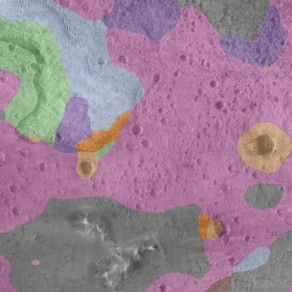
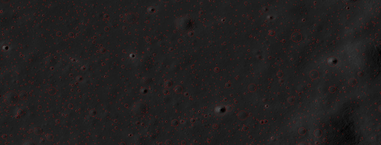
Shape from Shading (SfS) is a technique to estimate the gradient and subsequently the height of a surface based on a single image and an accurate reflectance model. For the Martian surface this is a particularly difficult problem because the atmosphere has a significant effect on the measured images depending on the amount of dust in the atmosphere. Therefore, we have adapted our previous SfS approach to compensate for the effects of the atmosphere and applied the new technique to the planned landing site of the ExoMars mission in Oxia Planum:
Hess, M.; Wohlfarth, K.; Ruesch, O.; Wöhler, C.; Grumpe, A.
High Resolution Digital Terrain Model for the Landing Site of the Rosalind Franklin (ExoMars) Rover.
Proc. European Planetary Science Congress, EPSC-DPS2019-1533-4, Geneva, Switzerland, 2019b.
The technique has more recently been evaluated in more detail:
Hess, M.; Tenthoff, M.; Wohlfarth, K.; Wöhler, C.
Atmospheric Correction for High-Resolution Shape from Shading on Mars.
J. Imaging 2022, 8, 158.
https://doi.org/10.3390/jimaging8060158
The Digital Terrain Model (DTM) presented at EPSC 2019 can be downloaded from Zenodo following this link:
https://doi.org/10.5281/zenodo.7214415
Bitte bestätigen Sie die Aktivierung dieses Videos.
Nach der Aktivierung werden Cookies gesetzt und Daten an YouTube (Google) übermittelt.
Zur Datenschutzerklärung von Google
Visualization of and Interaction with 3D-Models in Virtual Reality
3D-Models can be created at different resolution from different datasets. On the one hand we have satellite imagery of planet Mars from which DTMs with a resolution of up to 0.25 m/pixel can be created using Shape from Shading. These data can give good context for landing site evaluation or geomorphological studies. On the other hand we have images from rovers directly from the planets surface, which can reach much higher resolution and can resolve rock structures in great detail. Here stereo techniques like structure from motion can be used.
In a project group both datasets were combined in a virtual reality enviroment. Following are two videos illustrating the results:
Bitte bestätigen Sie die Aktivierung dieses Videos.
Nach der Aktivierung werden Cookies gesetzt und Daten an YouTube (Google) übermittelt.
Zur Datenschutzerklärung von Google
Bitte bestätigen Sie die Aktivierung dieses Videos.
Nach der Aktivierung werden Cookies gesetzt und Daten an YouTube (Google) übermittelt.
Zur Datenschutzerklärung von Google


